The invisible sensors that increase safety
Instrumentation and monitoring of installations can mean the difference between safety and catastrophe—and save society billions.

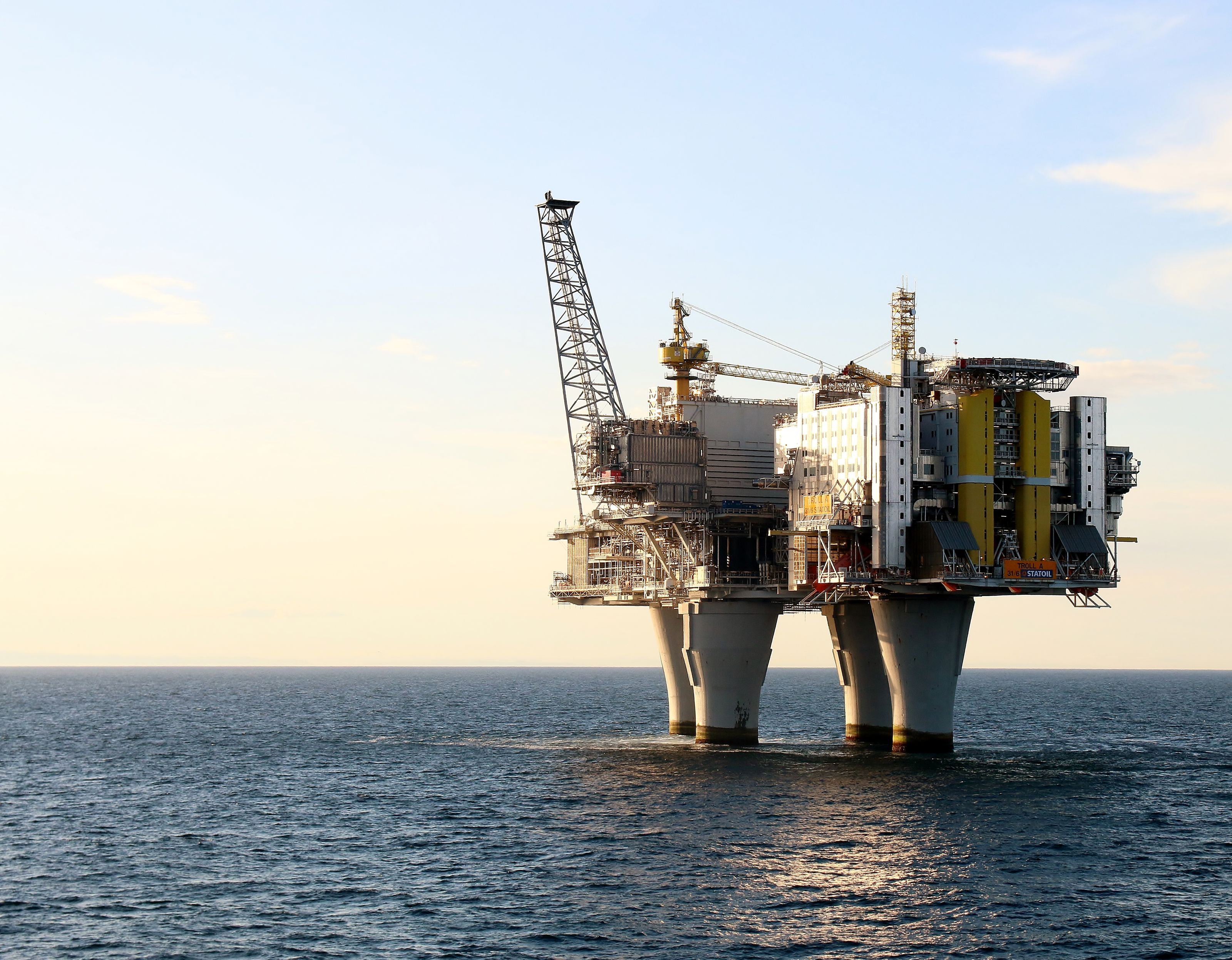
The Troll A platform stands 472 meters tall—far higher than the Eiffel Tower. Extensive instrumentation has monitored the platform for nearly 30 years, showing it is even more stable than initially calculated. ( Photo: Tommy Ellingsen / Norwegian Oil and Gas)
From the gigantic Troll A platform in the North Sea to today’s offshore wind farms and old railway bridges, thousands of sensors ensure we know how our structures behave.
“Instrumentation is fundamentally about measuring and understanding how a structure behaves in reality. ‘To measure is to know,’ said the physicist Lord Kelvin. You can’t improve without measurement,” explains Morten Saue, Head of Instrumentation and Real-Time Monitoring at NGI – the Norwegian Geotechnical Institute.
In a new NGI podcast, Saue discusses how this technology has evolved and why it is more important than ever. NGI currently monitors more than 16,000 sensors simultaneously.

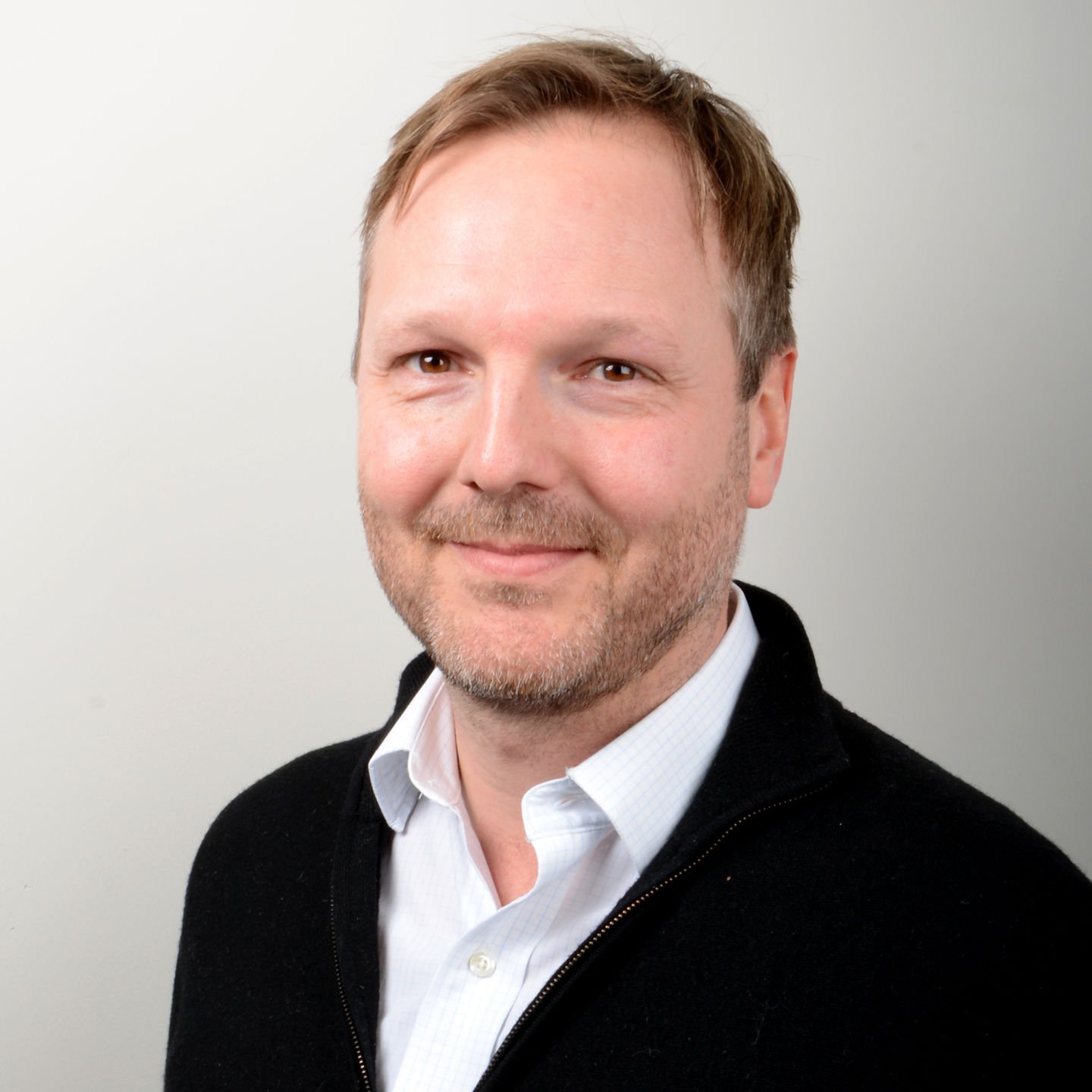
Morten Saue leads NGI’s instrumentation and real-time monitoring work, overseeing thousands of active sensors. ( Photo: NGI)
A colossus on clay
One of the best examples of the value of monitoring is the Troll A platform in the North Sea. When it was built in the 1990s, the cost was around NOK 38 billion—equivalent to more than eight percent of the national budget at the time. The platform stands 472 meters tall, far higher than the Eiffel Tower’s 330 meters.
The challenge was not just its size but also the seabed conditions. The seabed at the Troll field consists of very soft clay. Extensive instrumentation was used to ensure that the enormous structure stood safely. These sensors have been delivering continuous measurements for nearly 30 years.
The data have shown that the platform behaves more strongly and rigidly than calculated in the design phase. This has given the owners confidence and the flexibility to increase the platform’s weight and improve field utilization. The alternative might have been to build a new platform—at enormous cost.
Why measurement is crucial in geosciences
Saue explains that geotechnical engineers and builders work under very different conditions than other engineering disciplines. While materials like steel and concrete are industrially produced with predictable behavior, geoscientists must build on and within natural materials such as soil, clay, and rock.
“These are materials shaped by geological processes over millions of years, and they often have inherent uncertainty and great variation in behavior. Ground conditions can change dramatically within just a few meters,” Saue explains.
When building the foundation for a bridge, an offshore wind turbine, or a platform, capturing all this uncertainty in the design phase is challenging.
“That’s why measuring during and after construction is significant. The measurements tell us how the structure and the ground beneath behave, allowing us to verify our assumptions.”

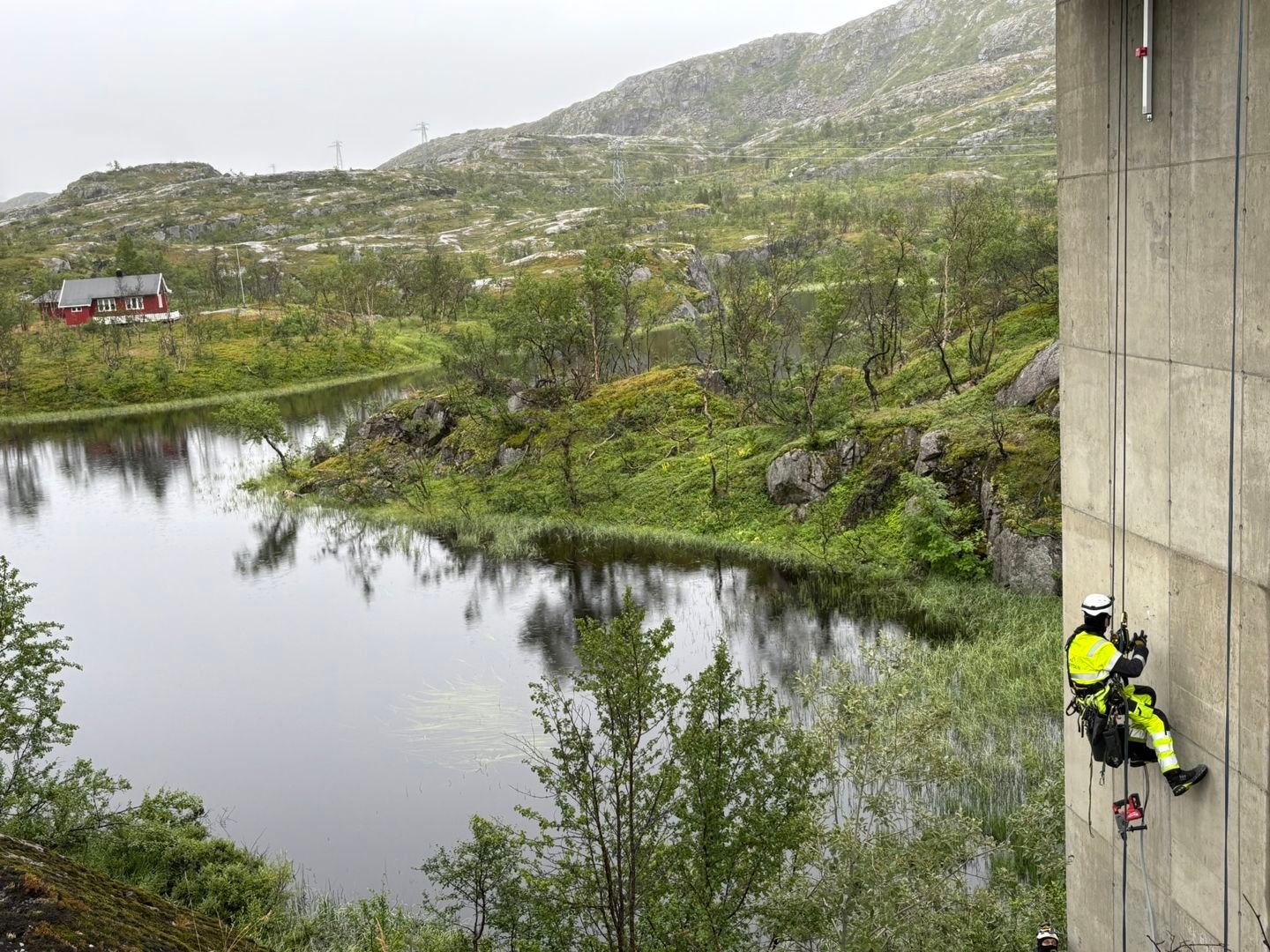
NGI researchers install sensors on the Søsterbekk bridges along the Ofotbanen railway. Measurements will provide new insights into how weather, temperature, and loads affect concrete structures in the harsh northern climate. ( Photo: Bane NOR)
From hydropower dams to offshore wind
NGI’s work with instrumentation began when the institute was founded in 1953. The focus has evolved alongside Norway’s industrial development:
- 1960s–70s: Heavy hydropower development led to a focus on dam instrumentation.
- 1980s–2000s: The oil and gas boom in the North Sea made it crucial to monitor large concrete platforms.
- The last 15 years: The primary focus has shifted to offshore wind.
Today’s wind turbines are enormous structures. Tower and rotor blades can reach 200 meters, standing on foundations 60–70 meters tall.
“Huge investments are being made, and if measurements can show that a wind farm can safely operate for a few extra years, the savings are massive,” says Saue.
Digitalization opens new doors
Previously, data often had to be collected manually. Today, cloud-based systems allow millions of data points to be collected in real time. NGI can send millions of data points to the cloud daily for a single project.
“This opens entirely new possibilities. We can set up automatic alerts when a measurement exceeds a threshold,” he explains.
By connecting these real-time data to advanced computer models, engineers can create what’s known as a digital twin—a precise virtual replica of the real structure.
“This digital model is continuously fed with sensor data from the field. It allows us to see on screen exactly how, for example, a bridge behaves in real time. We can also simulate how it will withstand future loads and predict maintenance needs. This gives us a far better foundation for making safe, informed decisions,” Saue explains.

Instrumentation in practice: Field measurements in Adventdalen, Svalbard, provide insights into how the ground responds to load. ( Photo: NGI)
Critical infrastructure under pressure
Knowledge from offshore projects is increasingly being applied to land-based infrastructure. Norway, for example, has around 2,700 railway bridges requiring maintenance, many of which are aging.
“Where should one begin such a maintenance process? Instrumentation can be key to prioritizing correctly, extending bridge lifespans, and ideally preventing accidents,” says Saue.
Events like the quick clay slide in Gjerdrum and several bridge collapses illustrate what’s at stake. Climate change and more extreme weather make monitoring areas prone to landslides and flooding even more critical.
Even with advanced technology, Saue emphasizes that monitoring isn’t just about sensors—it’s a craft that requires deep understanding and expertise.
“We’re entirely dependent on working closely with domain experts. If we’re monitoring an old railway bridge, we must involve a bridge engineer who understands its behavior. If we’re monitoring ground conditions for a new building, we must listen to the geotechnical experts,” Saue says.
He stresses that it’s in this interdisciplinary collaboration that raw data become actionable knowledge.
“Mistakes often occur because sensors are misused. It takes experience to choose the right solution, install it robustly, and interpret the data correctly. The devil is very often in the details,” concludes Morten Saue.
About the podcast
At the Norwegian Geotechnical Institute, our eyes are fixed on the ground—both on land and at sea. Our experts specialize in geotechnical and geoscientific fields such as environmental technology, contaminated soil, natural hazards (like landslides and avalanches), and infrastructure. This knowledge is essential for the green transition and adapting to a changing climate.
In the podcast With Eyes on the Ground, NGI’s Senior Communication Advisor, Liv Røhnebæk Bjergene, interviews leading experts so you can learn more about how they work with societal safety and the green shift.
